Collection or topic
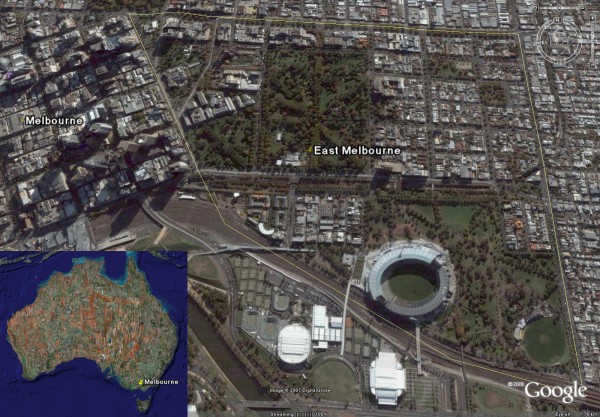
2007 07 East Melbourne Google Earth
In this collection
5 records and collections
Map
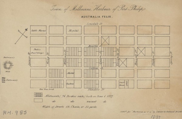
1837 Town of Melbourne
1 of 14 next › last 1837 Town of Melbourne Open full image ↗ 1 of 14 next › last
Map
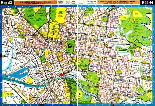
1966 Melway Maps 043, 044
first ‹ previous 9 of 14 next › last 1966 Melway Maps 043, 044 Open full image ↗ Acknowledgments Maps Collection, State Library of Victoria first ‹ previous 9 of 14 next › last
Map
2007 07 East Melbourne Google Earth
first ‹ previous 10 of 14 next › last 2007 07 East Melbourne Google Earth Open full image ↗ first ‹ previous 10 of 14 next › last
Map
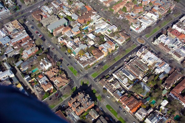
2007 Aerial photo - Simpson & Hotham Streets
first ‹ previous 11 of 14 next › last 2007 Aerial photo - Simpson & Hotham Streets Open full image ↗ Photographer: John Bragagnolo. first ‹ previous 11 of 14 next › last
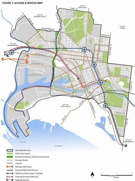
Map
2010 City of Melbourne MSS Figure 3 - Access and Spaces Map
Figure 3 from City of Melbourne Municipal Strategic Statement July 2010. Click on the Zoom and pan tab to see the detail.