Collection or topic
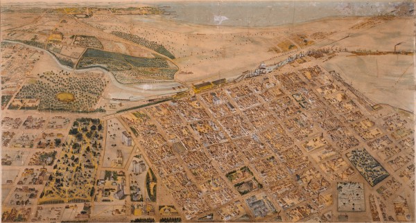
1866 Isometrical plan of Melbourne & suburbs
In this collection
5 records and collections
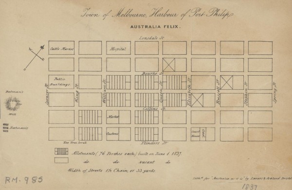
Map
1837 Town of Melbourne
1 of 14 next › last 1837 Town of Melbourne Open full image ↗ 1 of 14 next › last
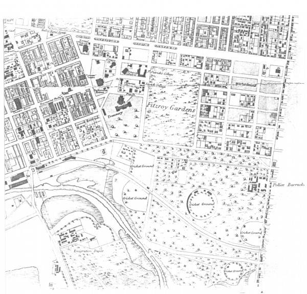
Map
1865c East Melbourne Map
first ‹ previous 4 of 14 next › last 1865c East Melbourne Map Open full image ↗ first ‹ previous 4 of 14 next › last
Map
1866 Isometrical plan of Melbourne & suburbs
Shows the layout of Melbourne streets circa 1866 with buildings, the Yarra, Port Phillip Bay in distance, parts of Collingwood and East Melbourne.
Map
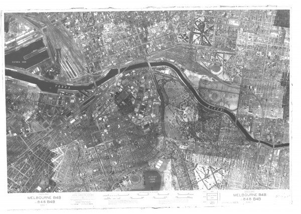
1945 Aerial Photo - Melbourne
first ‹ previous 6 of 14 next › last 1945 Aerial Photo - Melbourne Open full image ↗ State Library of Victoria first ‹ previous 6 of 14 next › last
Map
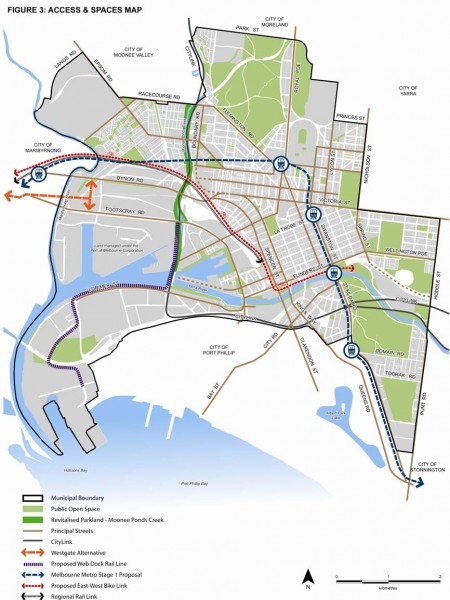
2010 City of Melbourne MSS Figure 3 - Access and Spaces Map
Figure 3 from City of Melbourne Municipal Strategic Statement July 2010. Click on the Zoom and pan tab to see the detail.