Collection or topic
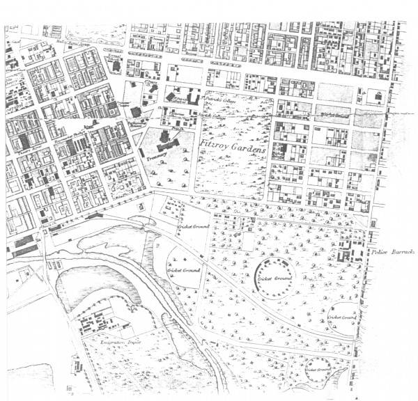
1865c East Melbourne Map
In this collection
5 records and collections
Map
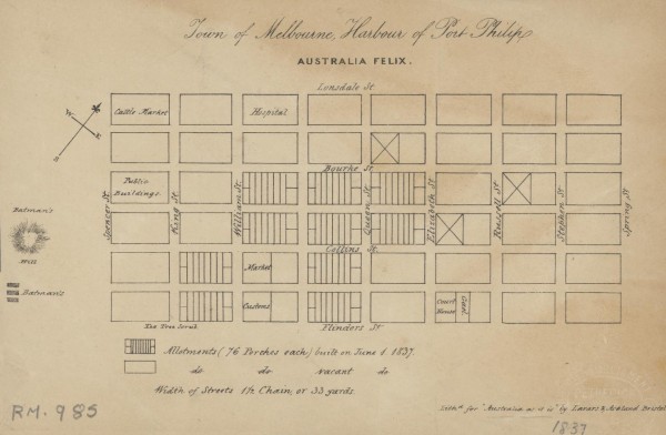
1837 Town of Melbourne
1 of 14 next › last 1837 Town of Melbourne Open full image ↗ 1 of 14 next › last
Map
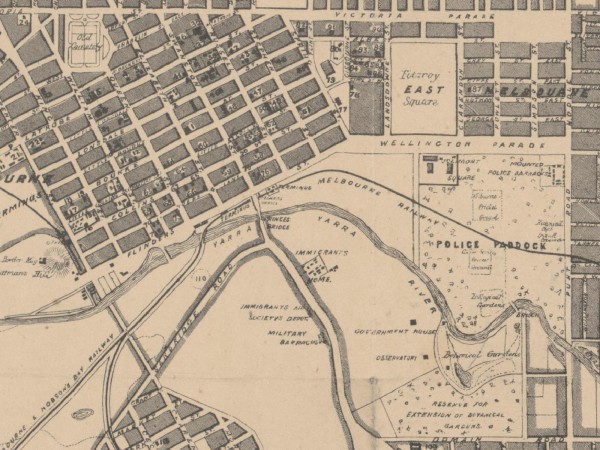
1864c East Melbourne Map
first ‹ previous 3 of 14 next › last 1864c East Melbourne Map Open full image ↗ first ‹ previous 3 of 14 next › last
Map
1865c East Melbourne Map
first ‹ previous 4 of 14 next › last 1865c East Melbourne Map Open full image ↗ first ‹ previous 4 of 14 next › last
Map
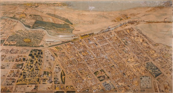
1866 Isometrical plan of Melbourne & suburbs
Shows the layout of Melbourne streets circa 1866 with buildings, the Yarra, Port Phillip Bay in distance, parts of Collingwood and East Melbourne.
Map
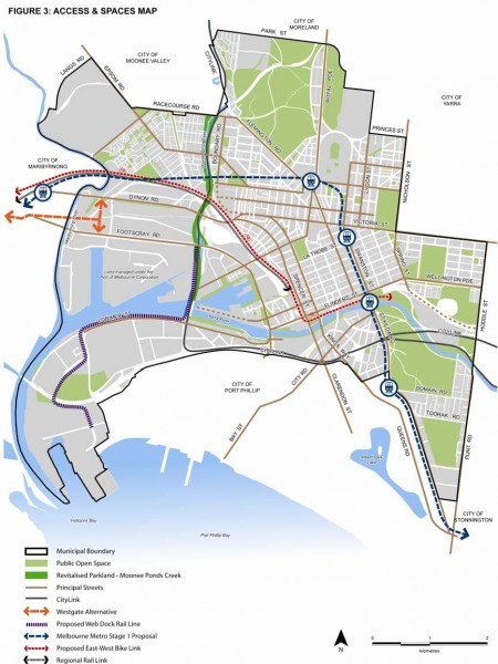
2010 City of Melbourne MSS Figure 3 - Access and Spaces Map
Figure 3 from City of Melbourne Municipal Strategic Statement July 2010. Click on the Zoom and pan tab to see the detail.