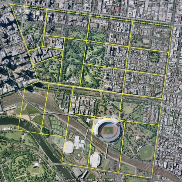
Map
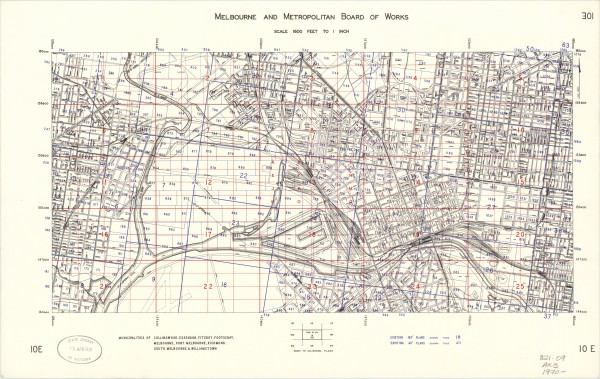
00 Index to MMBW plans
Click on an area in the Google map to link to a detailed plan in East Melbourne.
East Melbourne Historical Society
People, places and stories, connected.
52 results
Map
Click on an area in the Google map to link to a detailed plan in East Melbourne.
Map
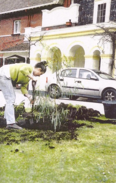
Topics Parks and Gardens first ‹ previous 2 of 147 next › last 002 Sandy Pullman planting the replacement Corroboree tree August 2002 Open full image ↗ first ‹ previous 2 of 147 next › last
Map
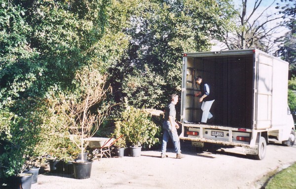
Topics Parks and Gardens first ‹ previous 3 of 147 next › last 003 Plants from Alan Soderlund of Total Plant Solutions September 2002 Open full image ↗ first ‹ previous 3 of 147 next › last
Map
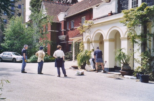
Topics Parks and Gardens first ‹ previous 4 of 147 next › last 004 Planting the Pony Tail Palms October 2002 Open full image ↗ first ‹ previous 4 of 147 next › last
Map
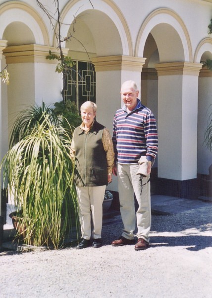
Topics Parks and Gardens first ‹ previous 5 of 147 next › last 005 Watsons with newly planted Pony Tail Palms October 2002 Open full image ↗ first ‹ previous 5 of 147 next › last
Map
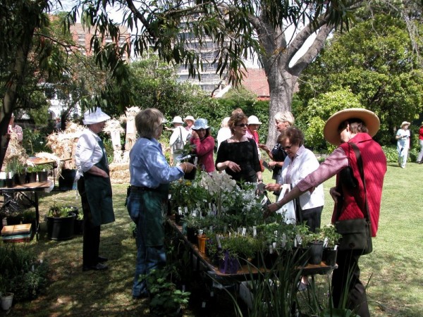
Topics Parks and Gardens first ‹ previous 7 of 147 next › last 007 Plant stall - AOGS Opening October 2002 Open full image ↗ first ‹ previous 7 of 147 next › last
Map
MMBW master plan and index to detailed plans covering Collingwood, Essendon, Fitzroy, Footscray, Melbourne, East Melbourne, Port Melbourne, Richmond, South Melbourne, Williamstown.
Map
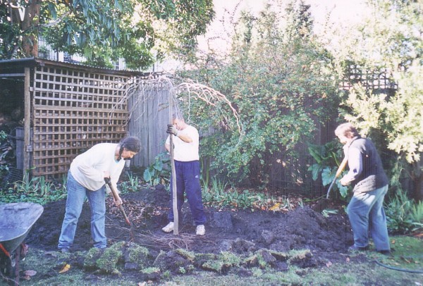
Topics Parks and Gardens first ‹ previous 13 of 147 next › last 013 Planting Weeping Elm July 2003 - Sandy Pullman, Frank Coppens, Shelley Wood Open full image ↗ first ‹ previous 13 of 147 next › last
Map
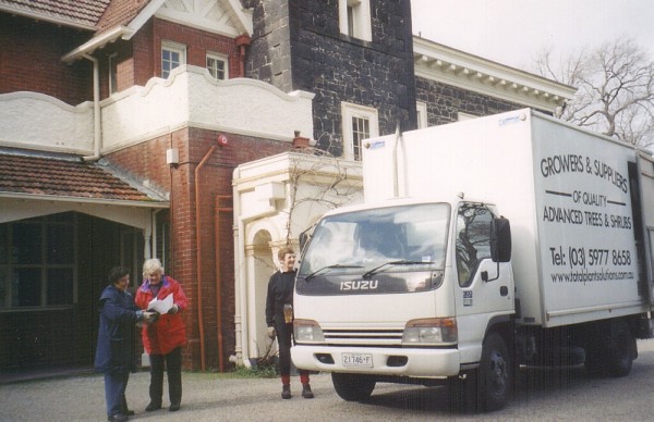
Topics Parks and Gardens first ‹ previous 14 of 147 next › last 014 Shelley Wood, Anne Clapham, Helen Page plants donated by Total Plant Solutions July 2003 Open full image ↗ first ‹ previous 14 of 147 next › last
Map
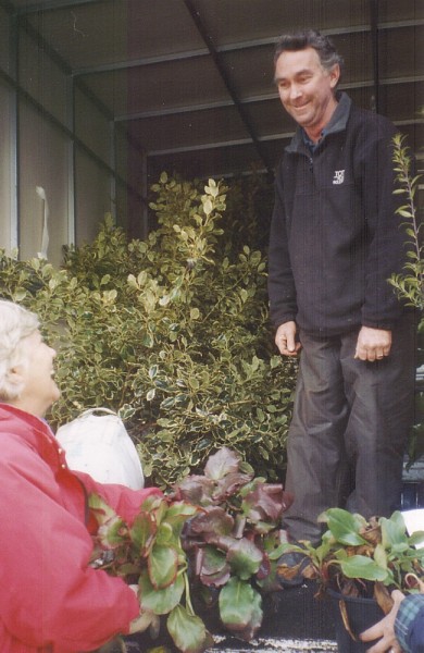
Topics Parks and Gardens first ‹ previous 15 of 147 next › last 015 Another truck full of plants for Bishopscourt July 2003 Open full image ↗ first ‹ previous 15 of 147 next › last
Map
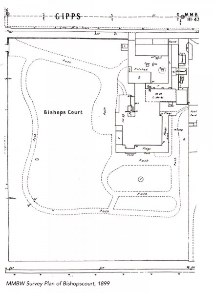
first ‹ previous 2 of 67 next › last 02 1889 Bishopscourt Survey Plan Open full image ↗ first ‹ previous 2 of 67 next › last
Map
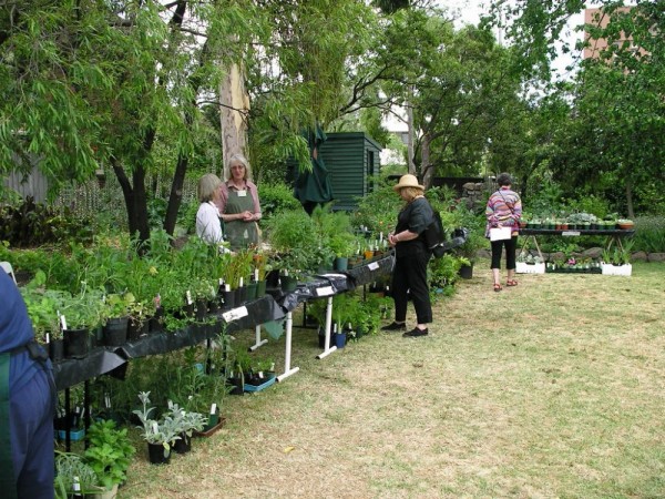
Topics Parks and Gardens first ‹ previous 25 of 147 next › last 025 Plant stall - AOGS November 2003 Open full image ↗ first ‹ previous 25 of 147 next › last
Map
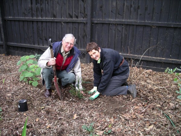
Topics Parks and Gardens first ‹ previous 64 of 147 next › last 064 Robin, Helen Page planting Ceanothus June 2005 Open full image ↗ first ‹ previous 64 of 147 next › last
Map
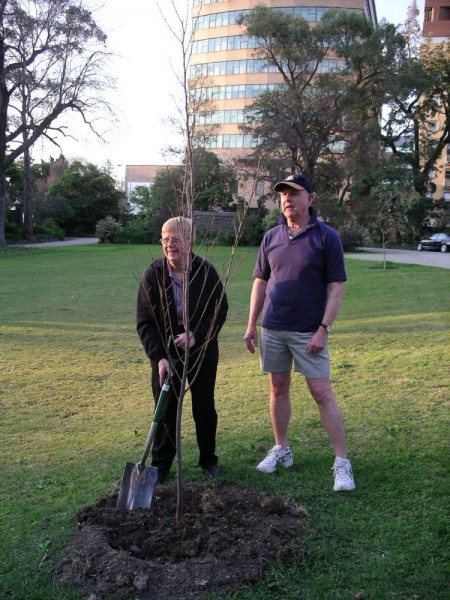
Topics Parks and Gardens first ‹ previous 66 of 147 next › last 066 Watsons planting retirement Elm October 2005 Open full image ↗ first ‹ previous 66 of 147 next › last
Map
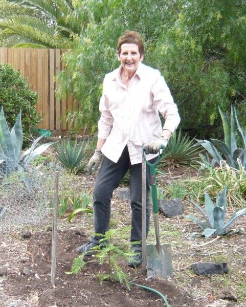
Topics Parks and Gardens first ‹ previous 115 of 147 next › last 115 Helen Page planting Nina Crones Wollemi Pine April 2008 Open full image ↗ first ‹ previous 115 of 147 next › last
Map
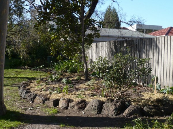
Topics Parks and Gardens first ‹ previous 117 of 147 next › last 117 New back garden bed planted September 2008 Open full image ↗ first ‹ previous 117 of 147 next › last
Map
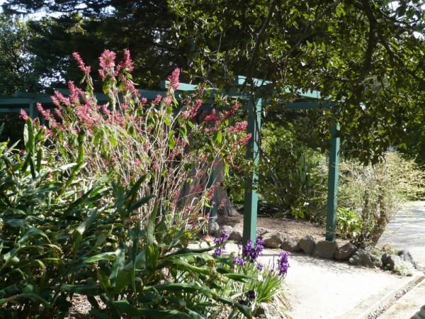
Topics Parks and Gardens first ‹ previous 127 of 147 next › last 127 Lisas plant October 2008 Open full image ↗ first ‹ previous 127 of 147 next › last
Map
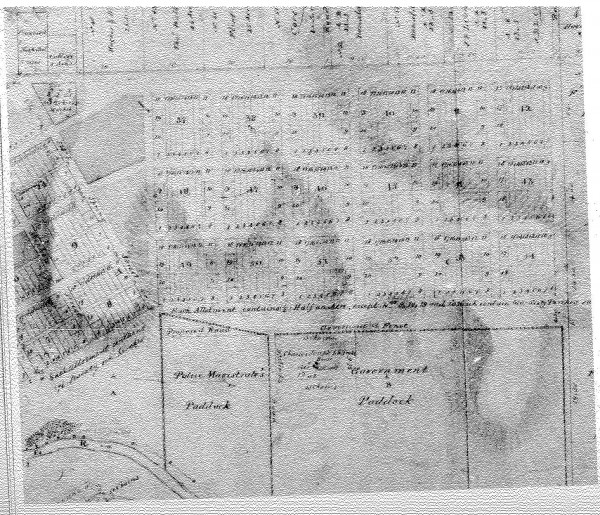
first ‹ previous 5 of 27 next › last first ‹ previous 5 of 27 next › last
Map
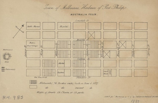
1 of 14 next › last 1837 Town of Melbourne Open full image ↗ 1 of 14 next › last
Map
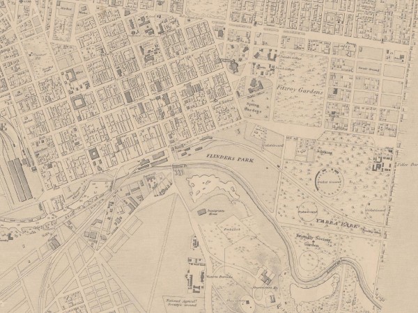
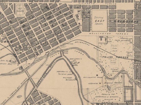
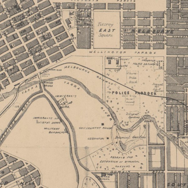
Extract of East Melbourne from British Admiralty Chart "Map of Hobson Bay and Yarra River leading to Melbourne" surveyed in 1864, first published 1865. This version has annotations dated 1875. See full chart under EMHS catalogue item emdf0041.
Map
first ‹ previous 3 of 14 next › last 1864c East Melbourne Map Open full image ↗ first ‹ previous 3 of 14 next › last
Map
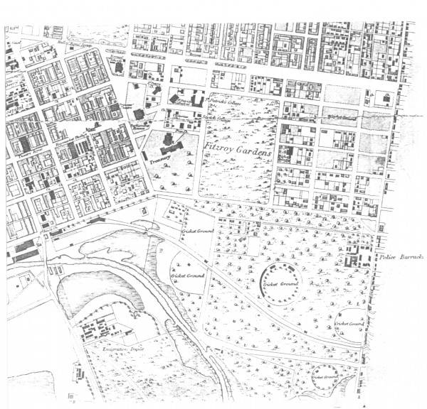
Extract from: De Gruchy and Leigh. Plan of Melbourne and suburbs 1863 - 1865. MAP RM 1316. National Library of Australia
Map
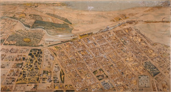
first ‹ previous 4 of 14 next › last 1865c East Melbourne Map Open full image ↗ first ‹ previous 4 of 14 next › last
Map
Shows the layout of Melbourne streets circa 1866 with buildings, the Yarra, Port Phillip Bay in distance, parts of Collingwood and East Melbourne.